UN geospatial information management careers: GIS, mapping and earth observation
A guide to UN geospatial roles, their grades and locations, and the project evidence that helps GIS applicants stand out.
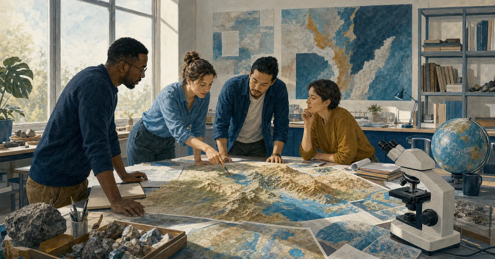
Geospatial information turns location data into maps, analysis and services that support UN decisions. The work ranges from maintaining authoritative boundaries and place names to satellite-image analysis, operational mapping, web services and geospatial data governance.
United Nations Geospatial is part of the Office of Information and Communications Technology, with staff in the UN Global Service Centre and peace operations. It also shares secretariat responsibilities for the UN Committee of Experts on Global Geospatial Information Management with the Statistics Division. Elsewhere in the system, humanitarian, development and specialized agencies run their own geospatial teams.
Titles and official categories
Vacancies may be titled Geospatial Information Officer, Geographic Information Systems Officer, GIS Officer, Cartographer, Imagery Analyst, Geospatial Information Assistant or GIS Assistant. Data-science, statistics and information-management posts can include spatial work without belonging to this job family.
Professional officer roles generally appear at P levels. Field Service and National Professional Officer posts can be used in operations, while technical assistants are often in General Service or Field Service categories. Consultants and UN Volunteers may support time-bound mapping or data projects. Category and Level, not the GIS title, establishes grade and recruitment status.
The distinction matters. A consultant delivering a spatial database, a locally recruited GIS Assistant and an internationally recruited P-3 officer may use the same software while carrying very different accountability. Read the contract, reporting line and expected outputs together.
Where geospatial staff work
Secretariat positions occur in New York, the Global Service Centre in Brindisi and Valencia, and peace operations. Mission teams produce operational maps, maintain shared datasets and support planning across large or inaccessible territories. Headquarters work can focus on enterprise standards, authoritative data, analytics and services for intergovernmental work.
Other employers include OCHA, regional commissions, UN-Habitat, UNEP, FAO, WFP, UNITAR’s UNOSAT and development programmes. Their portals, grades and technical priorities differ. A remote-sensing role for food security is not the same as a cartographic post supporting Security Council documentation.
Duty stations affect the evidence required. Field vacancies may value rapid map production, low-bandwidth services, GPS data collection and work with security or logistics teams. Policy posts may emphasize standards, interoperability and support to Member States.
Qualifications and practical skills
Common fields of study include geography, geographic information science, geomatics, cartography, remote sensing, surveying, computer science or a related discipline. Some assistant jobs accept secondary education plus technical experience. Follow the Education section’s degree and equivalency wording exactly.
Core skills can include desktop GIS, spatial databases, coordinate reference systems, geoprocessing, cartographic design and quality control. Depending on the post, recruiters may look for satellite or drone imagery, web mapping, Python or other automation, cloud geospatial platforms, metadata, geocoding or enterprise service administration.
Political and ethical judgement is part of the craft. Boundaries and place names can be sensitive. Location data may expose vulnerable people or operational movements. Applicants should understand authorization, data minimization, classification and appropriate cartographic disclaimers rather than treating every dataset as suitable for publication.
Showing what you have actually done
A strong example begins with the decision the product supported. State the users, source data, scale, analytical method and your contribution. For instance, you might describe building a geodatabase from several field sources, resolving coordinate and naming inconsistencies, publishing a controlled service and training users who planned access routes.
Maps alone are not enough. Explain accuracy, currency and quality checks. If you classified satellite imagery, give the sensor or resolution where permitted, the validation method and the limits of the result. If you automated production, quantify the reduction in processing time and show how errors were monitored.
A portfolio can help when the application process allows links, but never publish protected UN, client or beneficiary data. Recreate a method with open data if necessary. Make clear whether you designed the workflow, produced maps under supervision or managed the platform.
The UN’s overview of maps and geospatial services shows the range from cartography to earth observation and advanced analytics. Compare that range with the actual duties on UN Careers or the employing agency’s site. Match the title, category, location and technical requirements before tailoring examples. Good geospatial applications show that a map was accurate, controlled and useful to someone making a real decision.